一 01 / 08
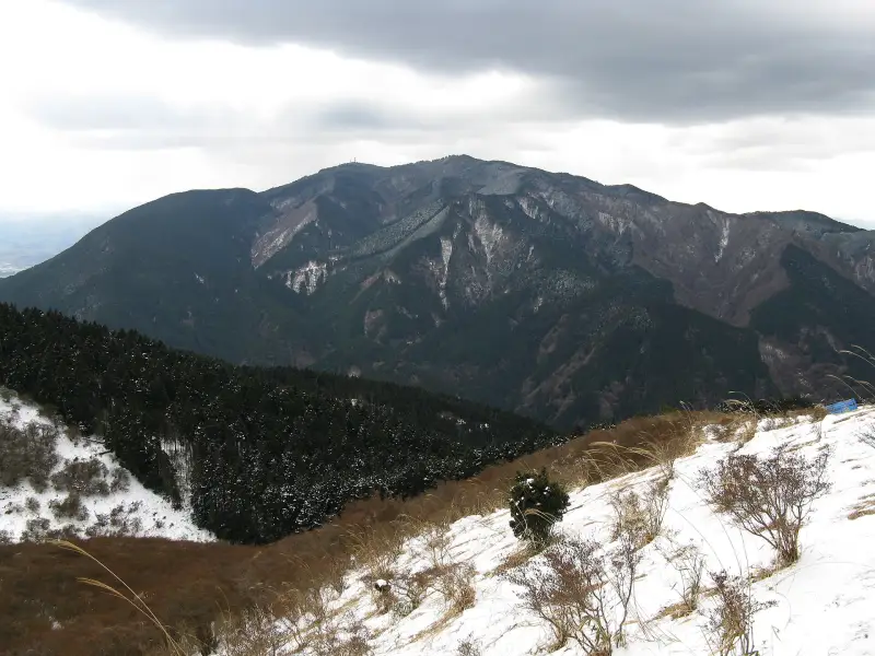
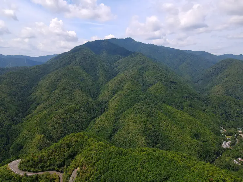
Mt. Kongo
Highest Peak in Osaka Prefecture
1,125 m
~2 h ascent¥68,000 per group
Expeditions · Kansai 関西の山
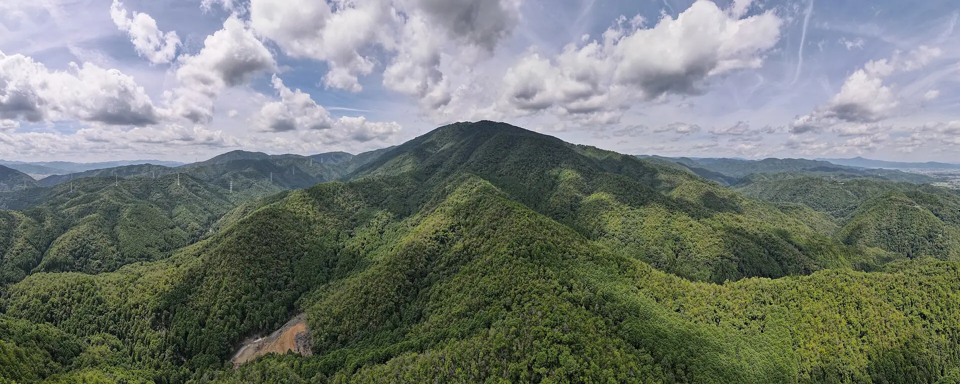
Eighteen mountain routes between Osaka, Kyoto, Nara and Kobe, from sacred summits to a 32 km ultra. Real elevation gain, trails almost no foreigner walks, and a private guide.
The traverse 縦走
Keep scrolling: the range slides past and the sky changes colour at every summit.Swipe sideways: the sky changes colour at every summit.
一 01 / 08
Highest Peak in Osaka Prefecture
1,125 m
~2 h ascent¥68,000 per group
二 02 / 08
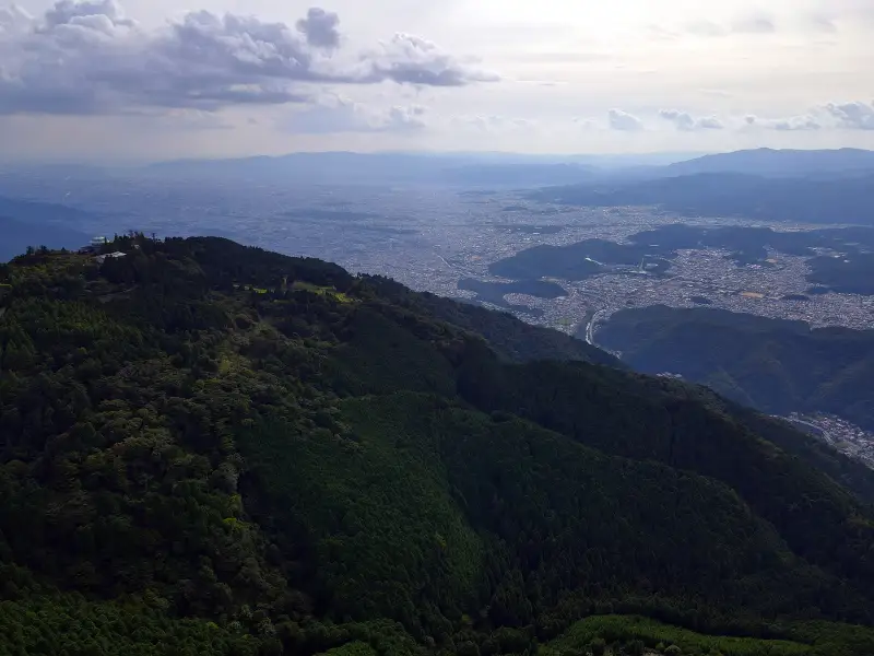
Kyoto's Highest Peak · The Fire Shrine
924 m
~3 h ascent¥68,000 per group
三 03 / 08
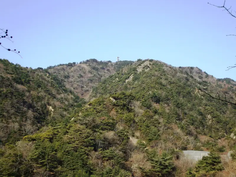
1,200 Years of Tendai Buddhism · Sacred Summit
848 m
~3 h ascent¥68,000 per group
四 04 / 08
Kobe's Ridge · The Whole Bay Below
931 m
~3.5 h ascent¥68,000 per group
五 05 / 08
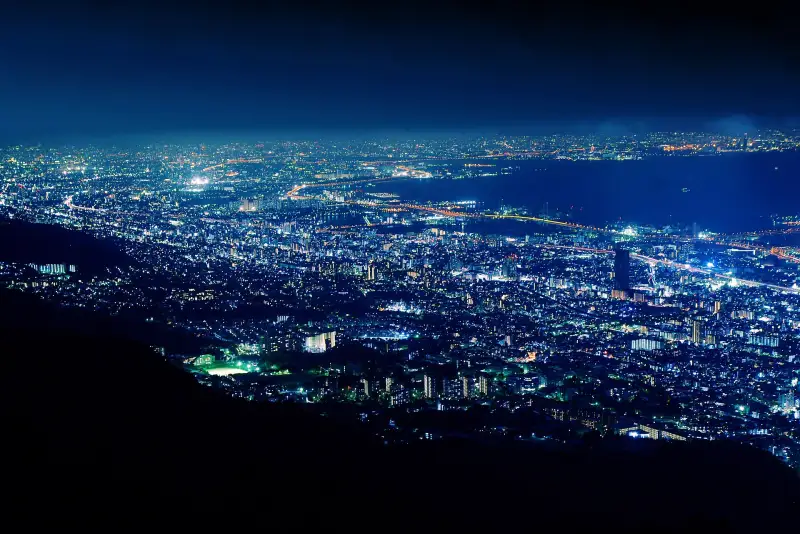
Million Dollar Night View · Kobe Harbor
699 m
~2.5 h ascent¥68,000 per group
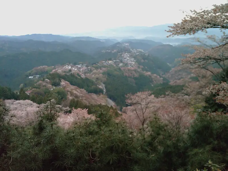
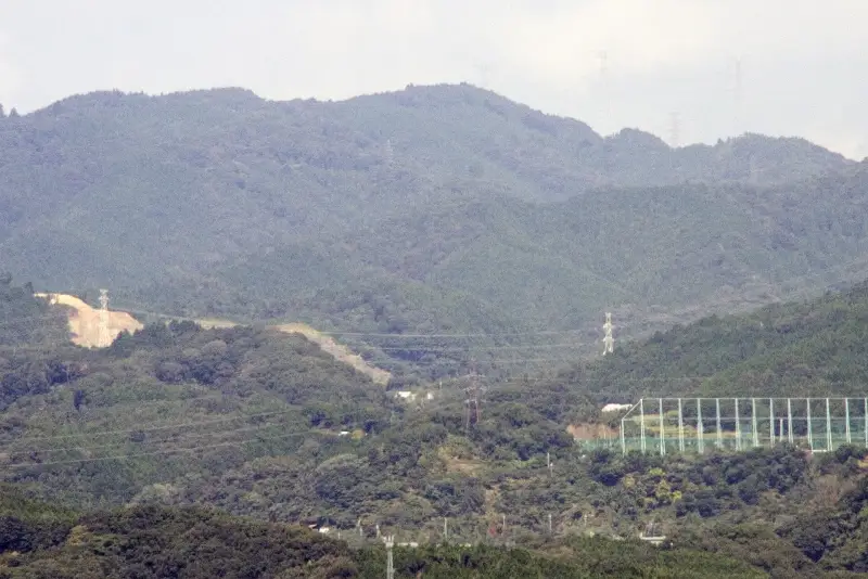
七 07 / 08
Full Traverse · Kyoto, Osaka & Kobe Simultaneously
679 m
5–7 h point to point¥68,000 per group
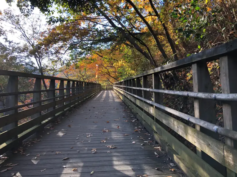
八 08 / 08
Sky Bridge 50 m High · Ancient Meteor Shrine
155 m
5 h 20 min¥68,000 per group
Field atlas
Tap a mountain on the map or the chart to see its photo, its terrain cross-section and the best time to climb.
01Highest Peak in Osaka Prefecture
1,125 m · 34.419° N 135.673° E
Summit flyover · Mt. Kongo
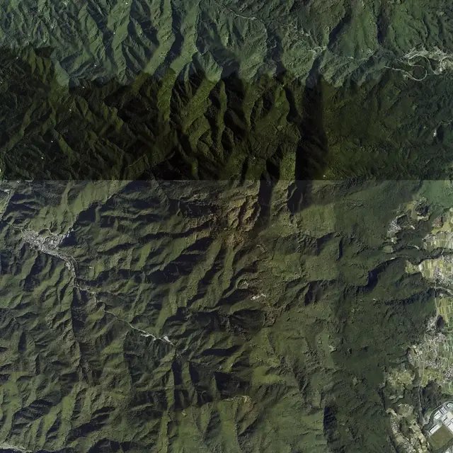
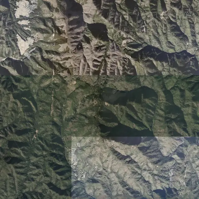
Aerial imagery from the Geospatial Information Authority of Japan on real terrain. In gold, the trails from OpenStreetMap. Drag to rotate; tilt with two fingers.
Loading terrain…
On the summit now · 1,125 m
| J | F | M | A | M | J | J | A | S | O | N | D | |
|---|---|---|---|---|---|---|---|---|---|---|---|---|
| Mt. Kongo | ||||||||||||
| Mt. Atago | ||||||||||||
| Mt. Hiei | ||||||||||||
| Mt. Rokko | ||||||||||||
| Mt. Maya | ||||||||||||
| Yoshino | ||||||||||||
| Ponpon Mountain | ||||||||||||
| Hoshi no Buranko |
For hikers looking for something new in Japan
Elevation and aerial imagery from the Geospatial Information Authority of Japan. Scroll and each mountain dissolves into mist and becomes the next.
Scroll to walk them ↓
Pro level · Kansai
Real elevation gain, full-day traverses and mountains almost no foreigner sets foot on. Route data from AllTrails; we bring the guide, the logistics and the pace.
The roof of Kansai, via Mt. Misen
Fir and moss forest along the old Ōmine pilgrim path. The highest summit in western Japan outside the Alps.
Half traverse of the range above Lake Biwa
Ridge after ridge with Japan's largest lake beside you. First-light start and a steady pace: this is an ultra day.
The highest peak of the Hira range
A long, steep climb to a bare summit with all of Lake Biwa below. Real snow in winter: crampons and experience.
From Nunobiki Falls to Okamoto along the ridge above Kobe
Half of the Rokkō Zenzan traverse that Kansai trail runners train for every year. Sea on one side, mountains on the other.
The full loop around Kyoto through its mountains
Fushimi Inari, Daimonji, Hiei, Kurama and Arashiyama linked along the ridges. In one-day stages: you sleep in the city each night.
The hardest stage of the Kumano Kodō, to Nachi Falls
Mossy stone steps, deep forest and a finish facing Japan's tallest waterfall. UNESCO World Heritage.
Walk up to Kōyasan, as pilgrims did a thousand years ago
From Kudoyama to Kōyasan's Great Gate following the 180 stone markers along the way. UNESCO World Heritage.
The mountain Kumano Kodō: Miura Pass, Ōmata to Miura-guchi
The route linking Kōyasan with Kumano over passes above 1,000 m. Very few people: mountain villages and silence.
The Diamond Trail from Kimitōge to the Iwawaki grassland
Southern section of the Diamond Trail, the great ridge between Osaka and Nara. In autumn the summit is a sea of silver susuki grass.
Hidegatake and the Daijagura cliff
One of the rainiest places in Japan: cloud forest, a rock balcony over 800 m of void and, with luck, the sea in the distance. Short, so we pair it with another route.
Fixed price on WhatsApp · Distance, gain and time: AllTrails, October 2026.
Before you come, check the route on AllTrails: profile, photos and reviews from people who have done it. In Japan the guide also navigates with YAMAP, the app Japanese mountaineers use.
A mountain rescue in Japan can cost thousands: come with travel insurance that covers hiking. If you would rather not carry boots, crampons or a pack, rent them in Japan and have them sent to your hotel.
Some links are affiliate links: if you buy, I get a small commission at no cost to you.
Hakkyōgadake (八経ヶ岳), 1,915 m, in the Ōmine range of Nara. It is one of Japan's 100 Famous Mountains. The route via Mt. Misen is 11.6 km with 1,102 m of elevation gain.
The Hira half traverse (32 km, 2,000 m gain), Bunagatake (14 km, 1,462 m gain), the Rokkō traverse above Kobe (27 km), the Kyoto Isshu Trail (82 km in stages), the Ōkumotori-goe on the Kumano Kodō and the Chōishi-michi climb to Kōyasan.
AllTrails to plan the route from home in English. In Japan, YAMAP is the most used: offline maps, closure alerts and the tracks of thousands of Japanese hikers.
It is not required, but it helps: signs and closure notices are in Japanese, the last mountain buses leave early, and there are bears in the Kii and Hira ranges. The guide handles transport, timing and plan B if the weather turns.
October to November and April to May. Summer is very hot and humid below 1,000 m; in winter Bunagatake and Hira have snow and need winter gear.
If the mountain isn't safe, we move the date or refund your deposit. The guide decides, no debate.
Each route sheet says how to get there, how long each stretch takes and what to bring. Nothing improvised.
The guide carries a first-aid kit and has the route loaded. We go at the pace of the slowest in the group.
Hard, Technical and Expert Only routes are for over-18s. If in doubt, start with a Moderate one.
For hard routes or groups of more than 4, we sign a simple contract: route, date and price.
We recommend one that covers hiking. It's cheap, and in the mountains it's the sensible thing.
Send us the route, the date and how many of you there are. We reply with the plan and a fixed price.
Tony Kansai Guide · Private guides in Japan